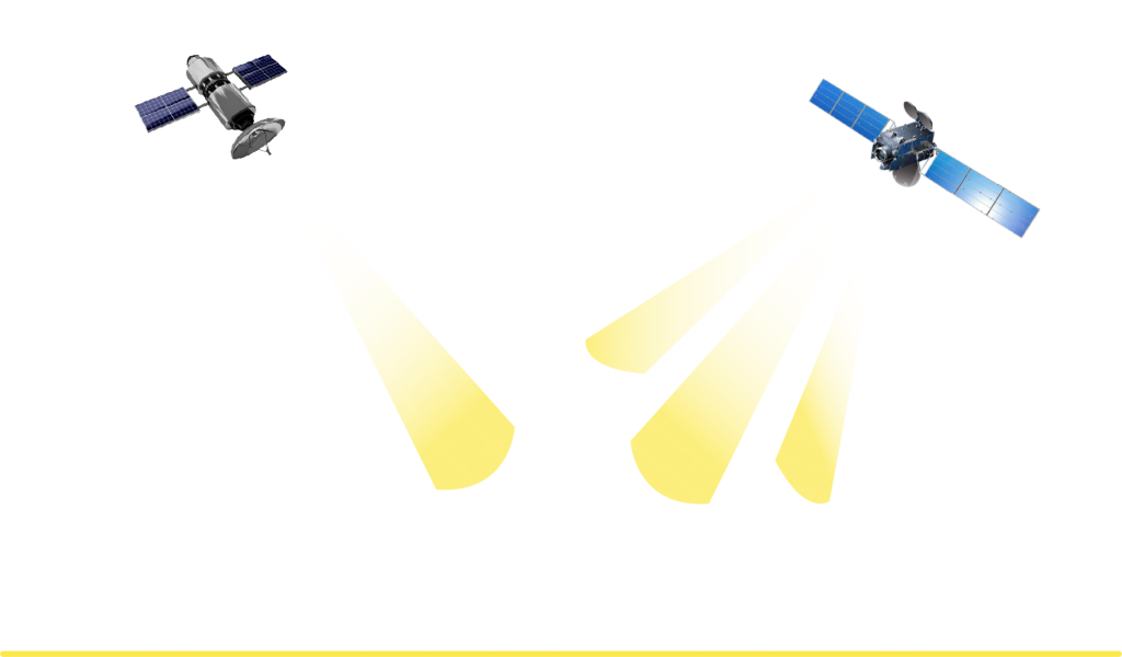
Nusantara Satu Satellite (PSN VI) is an Indonesian geo-stationary communications satellite (GEO) owned by Pasifik Satelit Nusantara (PSN). This satellite is placed in a position above the equator at 146 east longitude and moves along with the rotation of the earth.
Nusantara Satu Satellite is Indonesia’s first Broadband Satellite that uses High Throughput Satellite (HTS) technology with a larger bandwidth capacity to provide broadband access services throughout Indonesia.
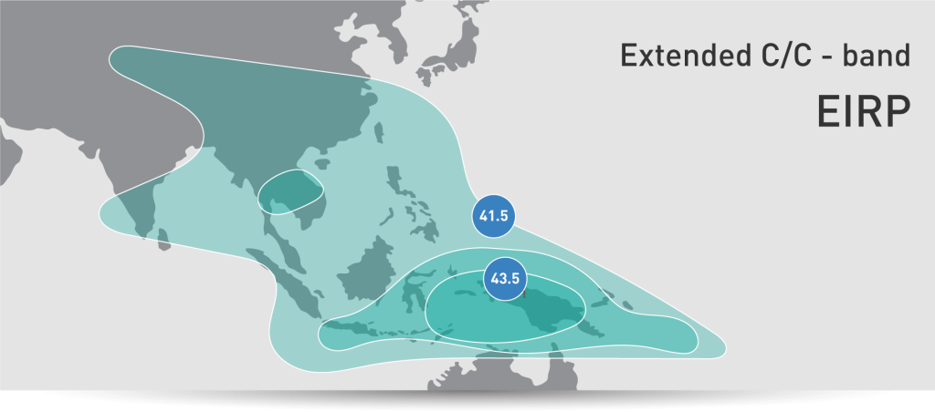
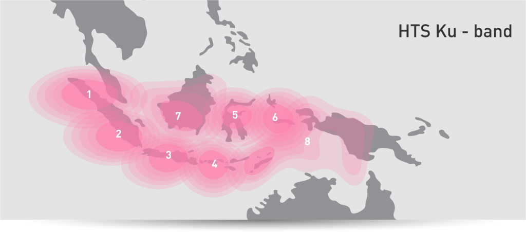
It has a capacity of 26 C-band transponders and 12 Extended C-band transponders as well as 8 Ku-band spot beams with a total bandwidth capacity of up to 15 Gbps, with coverage areas throughout Indonesia.
Nusantara Satu was created by Space System Loral (SSL), United States and was launched at Cape Canaveral, United States in February 2019 using a Falcon-9 rocket launcher from the Space-X company.


The electric propulsion technology used on the Nusantara Satu satellite saves the satellite’s weight by hundreds of kilograms at launch. The use of this technology can also save fuel usage, so that fuel can be used to extend the life of the satellite.


